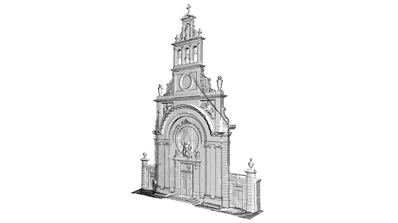
This complete basic dataset emerges directly from our measurements. It is a digital archive of the measured object but at the same time it provides you with the opportunity to extract any type of plot or of 3D model.
 |
Some engineers may wish to have access to raw measured data, the 3D point cloud itself. Thanks to simple software (integrated with AutoCAD or MicroStation), this solution enables greater flexibility in the exploitation of the data provided by TPLM-3D. The need for modelling is managed by the user in accordance with the progress of the project.
|
|
The updating and maintenance of a database covering an entire site is possible thanks to the supply not of 3D models but of the georeferenced point clouds derived from the laser scanning measurements themselves.
Engineers and architects can thus extract and model the areas of interest themselves, while keeping the whole site archived in the form of the 3D point cloud. The existing and planned structures thus coexist on the same computer platform ! |
|
|
|
“Clash analysis” (the management of interferences) ensures that the design of the new installation ensures adequate clearances in relation to the existing structure.
Check the geometry and features of the areas where investigations and possible future developments are planned – and keep everything in-house ! |